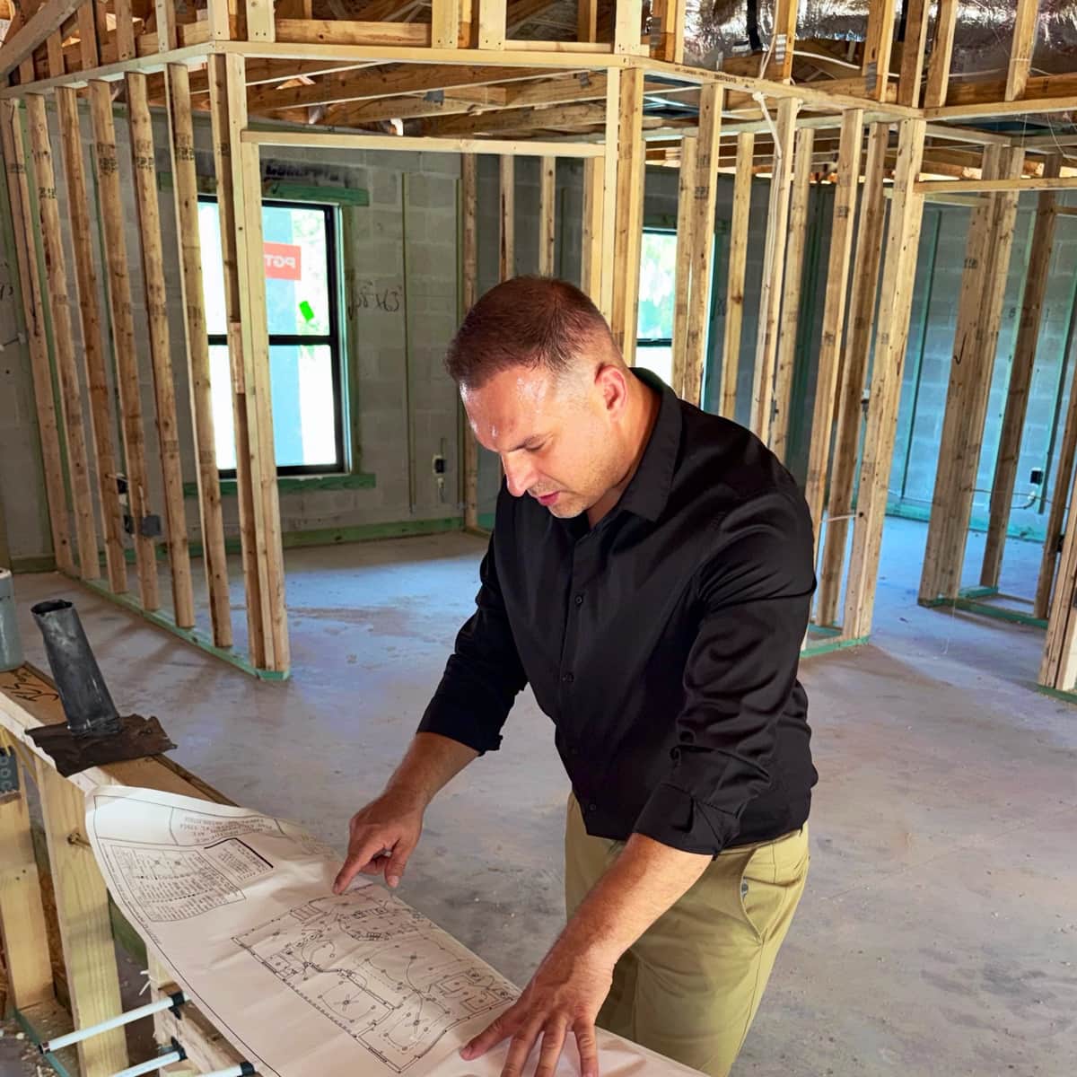
What a Full Lot Feasibility Check Covers
So what does a real check involve? It's not just one document. It's a stack of them, all cross-checked against each other.
You start with the survey. A boundary and topographic survey shows you the true lot lines, any elevation changes, and what's already on the property. Port Charlotte lots, for instance, often have drainage swales or platted canals along the rear or side lines. If your survey is old or missing, you're guessing where you can build.
• Setback lines from Charlotte County zoning, which set how close a structure can sit to front, side, and rear property lines
• Recorded easements for utilities, drainage, or access that can block a footprint even if the setback allows it
• Drainage and stormwater patterns, since low spots on a lot can trigger extra site work before you pour a slab
• Utility access points for water, sewer or septic, and electric service, and whether they reach the buildable area
• Flood zone designation from FEMA maps, which affects elevation requirements and design choices
Setbacks sound simple until you find an easement sitting right in the middle of your planned footprint. We've reviewed lots where the buildable envelope looked wide open on paper. Then a recorded drainage easement cut it in half. That's the kind of thing a real feasibility check catches before you sign anything.
Utilities matter more than most buyers expect.
Some Port Charlotte lots sit on a public water and sewer line. Others need septic and a well, or a longer utility run to reach the property. And flood risk isn't just about the FEMA flood zone label, it's about base flood elevation. That number affects your foundation height and design. Most people don't realize this until they're already deep into planning.
A vacant lot near a canal in the Port Charlotte area might look ready to build on. But if the drainage easement runs through the middle, or the flood elevation requirement adds height to the foundation, your design has to shift. This happens before a permit gets pulled.
Wildlife review belongs on the same checklist. Parts of Charlotte County carry gopher tortoise burrows and mapped scrub-jay review areas, and both can add a permitting step before any clearing starts. The FWC explains its gopher tortoise permitting rules and keeps a Florida scrub-jay profile that shows why these reviews exist. Better to find out at feasibility than on clearing day.
Here's the part that trips people up: none of these items get checked by one single office. The survey comes from a licensed surveyor. Easements show up in the title work. Setbacks and flood elevation come from Charlotte County zoning and building records. Utility access often needs a direct call to the provider. A full feasibility check pulls all of it together into one picture. You're not piecing it together lot by lot, department by department.
This is the groundwork that shapes every decision that follows, from site plan to permit set.
Why a Current Survey Comes Before Every Other Check
Every other feasibility check depends on one document: a current survey. Not the survey from ten years ago sitting in the seller's file. A new one, done for you.
Here's why that matters. Setback lines, easement locations, and elevation data all get measured from the property corners and existing grade. If those corners are wrong, or the lot has been re-graded since the last survey, every calculation after that is built on bad information. We see this mistake all the time in Port Charlotte. Older platted lots sometimes have fill added or removed over the years without any paperwork to show it.
Think about a canal lot near Port Charlotte with a seawall. The old survey might show the seawall ten feet from the property line. But erosion, prior repairs, or a neighbor's fence encroachment can shift that reality. A new survey catches it. This happens before you're mid-permit and the county flags a conflict you didn't know existed.
A current survey typically gives you several pieces of information you can't get any other way.
• Exact property corners and boundary lines, confirmed on the ground, not just on paper
• Existing easements recorded against the lot, including drainage and utility easements
• Elevation data tied to a known benchmark, used later for flood zone and drainage review
• Any encroachments from fences, sheds, driveways, or a neighbor's structure
• Location of existing trees, wells, septic systems, or other features that affect where you can build
Skip this step and you're guessing. And guessing on a lot is expensive to walk back once a permit application is already in review.
A survey also becomes the base drawing for everything else in your feasibility review. Setback calculations get measured from it. Easement conflicts get flagged on it. Drainage plans reference its elevation points. Without it, your engineer or designer is working blind, or duplicating work later.
Some sellers will hand you an old survey and call it good enough. It might be close. It might not be. Charlotte County and most lenders want documentation that reflects the lot as it sits today, not as it sat in 2004.
This is one reason we walk clients through a full lot review as part of our custom home planning process. The survey, setbacks, easements, and flood data all get checked in the right order instead of piecemeal.
One accurate survey now can save you months of rework later.
If you're evaluating a lot in Port Charlotte and want a straight answer on whether it's buildable, that answer starts with a survey, not a guess.
How Easements and Setbacks Limit Your Build Footprint
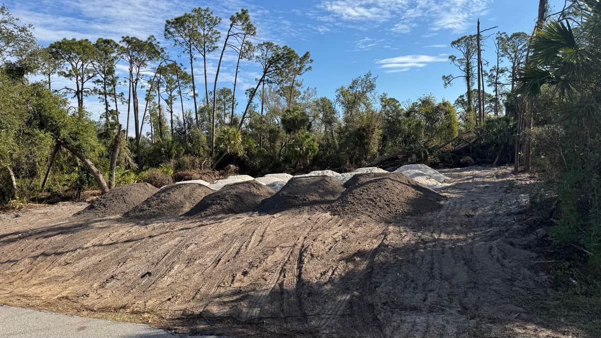
You found a lot in Port Charlotte with a nice canal view or a corner spot near a quiet street. Looks like plenty of room, right? But the buildable area is almost always smaller than the total lot size. Setbacks and easements eat into that space before you ever pour a slab.
A setback is the distance your structure must sit from the property line. Charlotte County sets minimum front, side, and rear setbacks based on your zoning district. An easement is different. It's a strip of your land that a utility company, drainage district, or neighbor has a legal right to use, even though you own it.
We see this mistake all the time. A homeowner buys a lot, imagines a pool cage stretching to the rear fence, then finds out a drainage easement runs across the back third of the property. Suddenly that dream layout shrinks fast.
• Utility easements for FPL power lines, water, or sewer that cross the lot
• Drainage easements tied to county stormwater or canal maintenance
• Shared access or ingress-egress easements on flag lots or shared driveways
• Side and rear setback lines that vary by zoning district and lot type
• Corner lot setbacks that apply to two sides instead of one
Corner lots trip people up the most. Two street-facing sides means two front setbacks instead of one. That can push your buildable box toward the center of the lot, leaving less room than a standard interior lot with the same square footage.
So how do you find these limits before you're deep into design? A current survey and a title search are the starting point. Plans without them are guesses. A licensed surveyor will plot easements and setback lines on the property. This gives you a real picture of where you can build.
Here's the kind of math worth running. Say a Port Charlotte lot is 80 feet wide. A side setback of 7.5 feet on each side and a 10-foot utility easement along one boundary can remove close to 25 feet of usable width. That's before the house, the garage, or any lanai enclosure or pool cage gets drawn on paper.
Setbacks also affect additions to existing homes, not just new lots. Room additions, second-story additions, and garage conversions all have to respect the same property lines as the original structure. And an easement discovered mid-project can force a redesign. Sometimes after permits are already submitted.
This is exactly why lot feasibility work happens before design, not during it.